3 in one go!
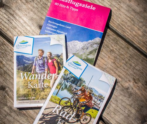
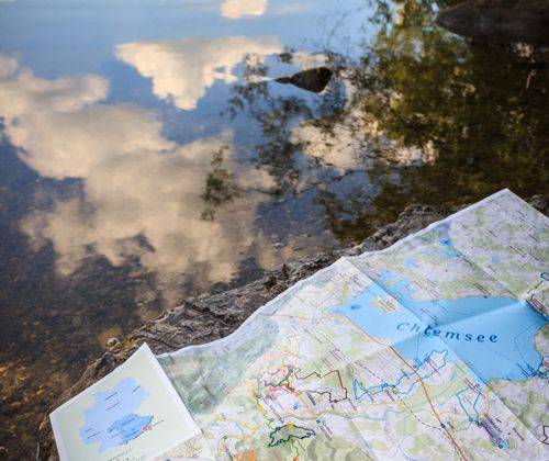
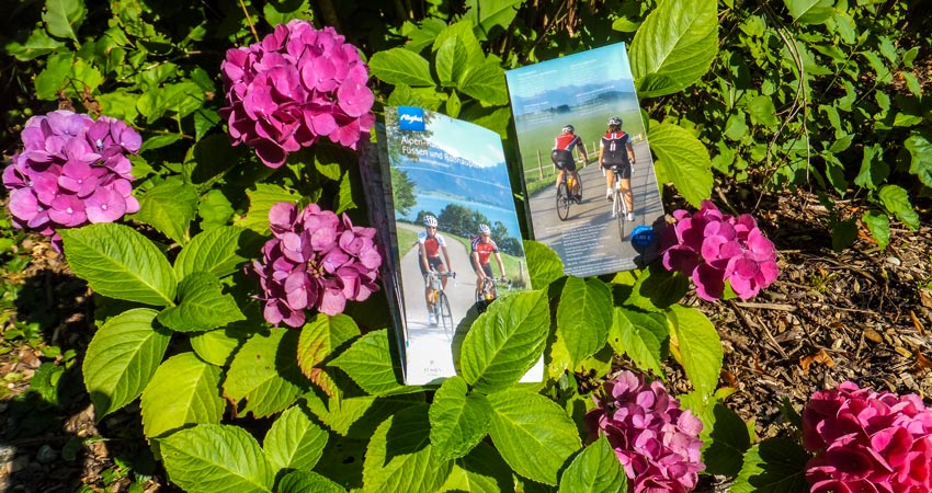
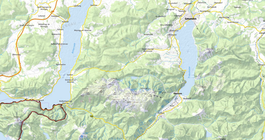
3 maps in one go: green-solutions supplied the right cartography for the cycling, hiking and leisure maps in Chiemgau, Berchtesgadener and Salzburger Land. Three map projects based on OSM data were successfully completed in the area between Chiemsee and Salzburg in the first quarter of 2015. The new maps are currently being distributed to guests by the tourist information offices in the respective regions and contain lots of information for a successful vacation in one of the most beautiful regions in the Alps.
Cycling map
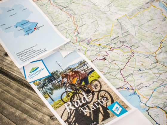
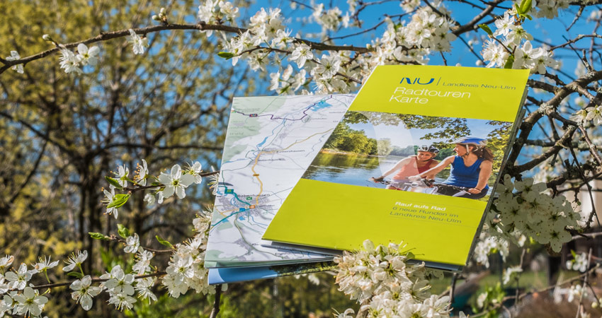
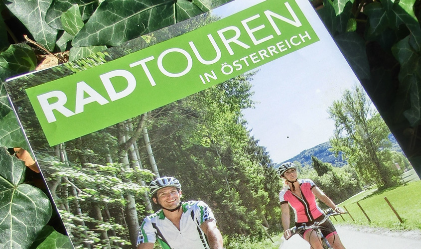
The “Chiemgau” cycling map at a scale of 1:75,000 offers 20 exciting adventure tours, such as the 16-lake tour, the farm safari and many more… The tours are described in detail on the back with tourist information along the way. In addition to the themed cycle tours, selected road bike and MTB tours as well as the region’s entire cycle path network are included in the map.
Hiking map
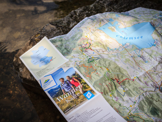
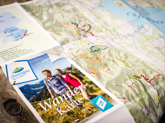
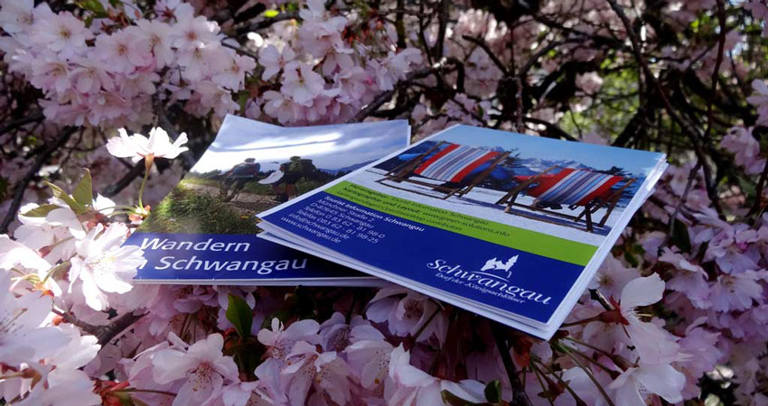
Hiking routes in all levels of difficulty! Everyone will find their own personal challenge here. The offer for hikers in the Chiemgau offers a variety of circular tours: from alpine tours to summit tours. In addition to the tours, you will also find alpine pastures and huts as well as ascent aids on the map.
Leisure map
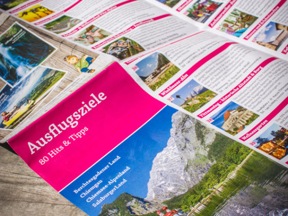
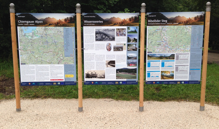
The EuRegio map invites you to visit many excursion destinations in Berchtesgadener Land, Chiemgau, Chiemsee-Alpenland and SalzburgerLand. Here too, green-solutions designed the cartography based on OSM data.

