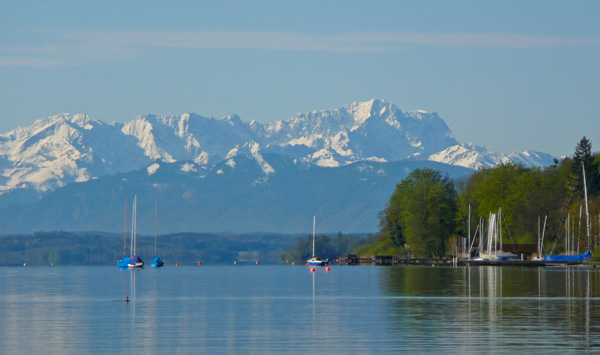
Major Ammergau Alps project
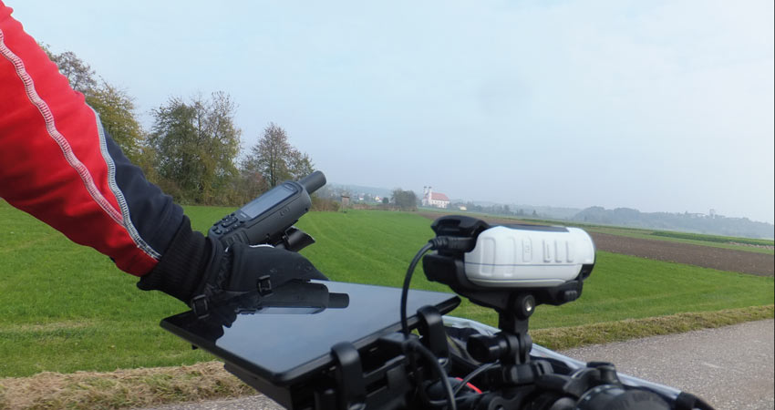
Ammergauer Alpen GmbH has commissioned green-solutions with the planning and implementation of a comprehensive hiking concept. Over 500 kilometers of trail network will be newly recorded and signposted in coordination with the district and the Ammergau Alps Nature Park as well as the Bavarian State Forests and the nature conservation authority. To this end, common quality standards are being defined and a tour and signposting plan is being drawn up. The GPS-supported recording of the existing hiking signposts and the planning of the new hiking signage will take place in 2016/2017.
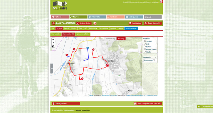
Everything from a single source with tourinfra® – All data collected by green-solutions is georeferenced and entered into the company’s own infrastructure management system tourinfra®. With tourinfra®, the data for the survey is available and the sign order can also be processed with tourinfra® on the basis of the integrated data.
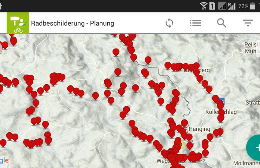
Designed for working in the field – We have developed the tourinfra® mobil app to make future maintenance and care of the paths as quick and easy as possible. With the help of tourinfra® mobil, infrastructure data can be entered and checked directly on site on the tablet and signs can be reordered immediately if necessary.
To give guests something to take with them on their way, we also prepare a classic hiking map. This is where our custom maps come into play, i.e. the hiking map is created on the basis of OSM data (OpenStreetMap) in a customized map layout for Ammergauer Alpen GmbH.
We are looking forward to implementing the exciting “Ammergau Alps” project!

