Alpenwelt Karwendel relies on green-solutions and switches map production to custom maps !
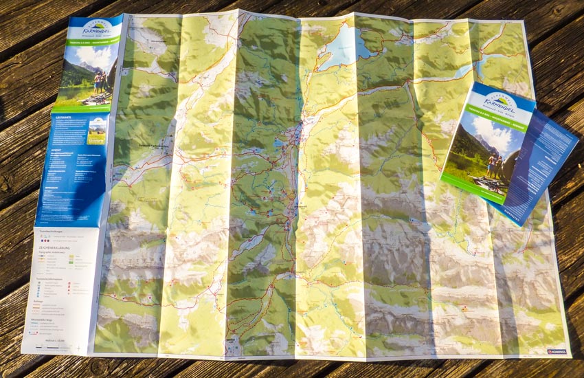
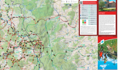
The folding map covers the entire area of Alpenwelt Karwendel and serves as a general overview for guests. Our custom maps were used for the cartography, i.e. the bike map was created on the basis of OSM data (OpenStreetMap) in a customized map layout for the customer.
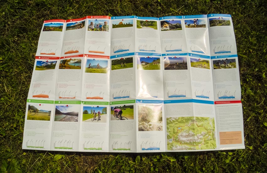
It was created at a scale of 1:55,000 and contains the entire mountain bike and cycle path network in different colors, which is also shown in different categories (paved, unpaved, steep sections, etc.). A total of 21 trekking & e-bike, mountain bike and road bike tours are described on the back. For easy and quick orientation, the different tour categories have also been given different colors in the tour descriptions. Elevation profiles round off the descriptions and convey the character of the tour at first glance. The GPX files were supplied by the client and were also entered as tours in our tourinfra®. The familiar blue-red-black rating system indicates the level of difficulty of the tour in each tour description.
An informative overview for guests!
