Satisfied customers
A 45 km network of trails has been optimized and the total number of trails now covers an impressive 110 km for cross-country skiers.
In the southern district of Bad Tölz-Wolfratshausen, a cross-municipal hiking trail concept provides more orientation.
Completion of hiking project in the Zugspitz region with green-solutions.
Layout and cartography by green-solutions a cycling and hiking map for the Mountain Refugio Allgäu – Hubertus
Information event for all citizens on the current status of the cycling concept.
BIKE & WORK layout, logo and cartography by green-solutions.
Cycle path survey for the district-wide everyday and leisure cycling concept in Altmühlfranken begins.
Cycle signage planning by green-solutions becomes visible. Municipalities set up the new cycle route signposts. The signage is checked with tourinfra.
Layout and cartography by green-solutions
Trail manager in use throughout the Alps
Cycling maps for the long-distance routes in Baden Württemberg
Trail signage based on tourinfra by green-solutions & Wiesendanger Medien
Lakeland Pilgrimage Trail Map
Bad Griesbach – Cycling map with tour suggestions
Outdoor use at the Trans Bayerwald
Rhön Biosphere Reserve relies on tourinfra®
Steigerwald Nature Park relies on tourinfra®
Steering and infrastructure measures for the Miesbach-Hausham running park
We have planned this for 2024.
Extensively expanded quality management available to all tourinfra® users and customers.
New hiking trail signposting in the ILE Zellertal implemented with the help of tourinfra.
Tourinramobil in action in Emsland, RTL took a closer look.
Chiemgau West & East MTB map
Cycling and hiking map of Pfaffenhofen
Obermain Jura – The Garden of God
Everything at a glance – Overview map of the tourist region
Motorhome discovery tours between the Rhine and the Swabian Alb
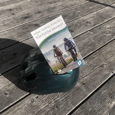
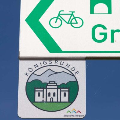
An all-round carefree package for the Simultankirchen Förderverein. From route mapping and signposting to the print map and tour output on the website – everything from a single source from green-solutions.
Trail manager in the Rhön
Trail manager in action in the Engadin
Trail manager & trail signage for the Tannheimer Tal
The Bad Griesbach Guest & Spa Service has commissioned green-solutions with the layout and implementation of a hiking and Nordic walking map.
MTB signage is installed
Southern Emsland and Grafschaft Bentheim are perfect leisure regions for cycling.
The Emsland – Germany’s second most popular cycling region
Award-winning Trans-Bayerwald: 3rd PLACE at the ADAC Tourism Award Bavaria 2020
Digitalization in the Ammergau Alps becomes visible
Bavaria has a new MTB guidance system
WineExperienceMap in the Heilbronn region realized by green-solutions
Tannheimer Tal relies on the trail manager
Success of our planning – Inn-Salzach becomes RadReiseRegion
Trail managers ready for the season across the Alps
Bike flyer for the Inn cycle path
Nature Navi goes into operation. The result of the project forms the basis for the future tour modules from green-solutions
The extensive hiking map was created in close cooperation with the Ammergauer Alpen GmbH team. Guests will not only find a variety of themed trails and hut hikes, but also winter hiking trails and alpine mountain tours.
The first of around 88 new information boards with maps from green-solutions have already been set up in the Allgäu.
New order for green-solutions from Berchtesgadener Land.
Working where others go hiking… the green-solutions team recording routes
By the end of October, the 450 km of cycle paths in the district will be completed.
3D view and flight mode are available in the new tour modules with our new partner Fatmap.
After a long development period, the new tourinfra mobil app for infrastructure maintenance is now available to all green-solutions customers.


