KARTOGRAPHY

We can do maps! As individual as your destination.
green-solutions offers you an extensive range of maps: from city maps to hiking and outdoor maps to interactive maps for your website or app. Of course, everything is designed according to your wishes. We are the specialists when it comes to OpenStreetMap (OSM). Thanks to our sophisticated production process, we generate the highest quality and most accurate map data at lightning speed, which we then customize according to your wishes and requirements.
License-free cards in all variants!
We offer you an extensive range of maps: from city maps to hiking and outdoor maps to interactive maps for your website or app. Everything designed according to your wishes!
Our individually produced and license-free maps can be used in a variety of ways by publishers, tour operators, tourist regions and municipalities as the basis for flyers, information boards, maps, web cartography and apps.
- license-free & budget-friendly
- up to date
- available worldwide
- all scales
- all file formats

Let us bring your vision to life.

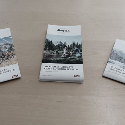
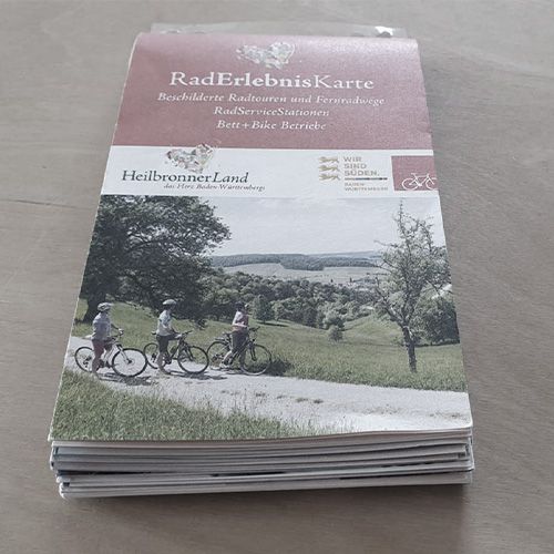
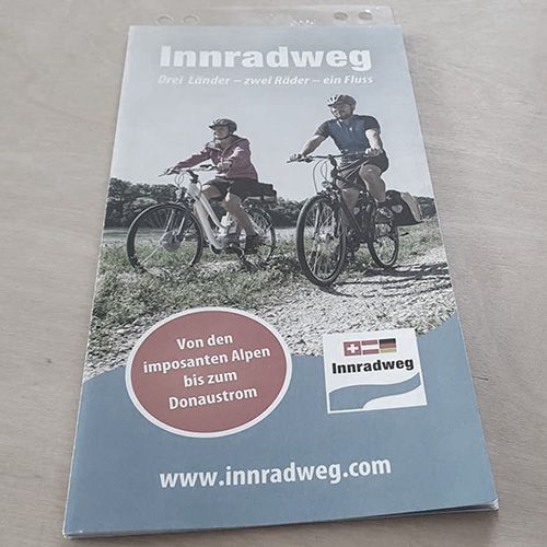
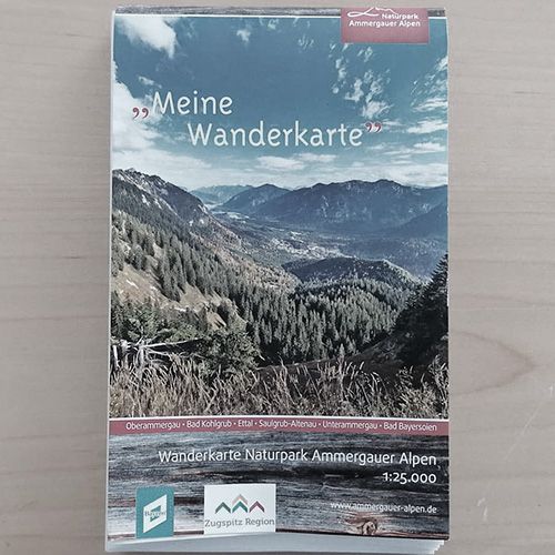
- Hiking maps
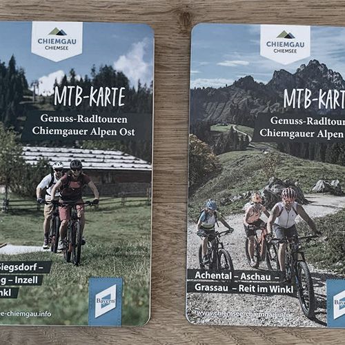
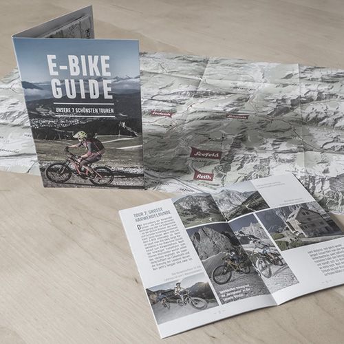
- Bike & Cycling maps
- Individual design
- Supplemented with individual content
- Detailed maps
- Individual contents
- Street directory
- House numbers & place register
- Detailed maps
- Individual contents
- Street directory
- House numbers & place register
- Road maps
- Country overviews
- Excursion tickets
- Minimaps
- Vector maps for summer & winter
- Various laysters
- Customized styles
- Usable in apps


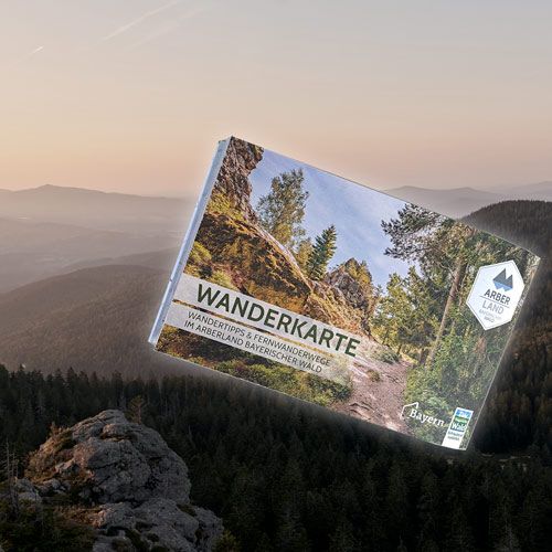
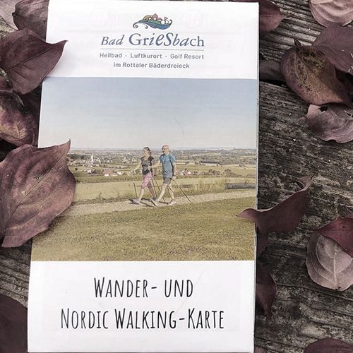
Outdoor maps for the summer
In tourinfra®, tours for various sports can be created quickly and easily. Many tools and automatic functions support users in creating hiking, mountain biking and trail running tours, etc. The creation of routes using GPS data, off-road routing functions and automatic synchronization with map data from Open-Street-Map make work much easier.
- Hiking maps
- Bike & Cycling maps
- Individual design
- Supplemented with individual content


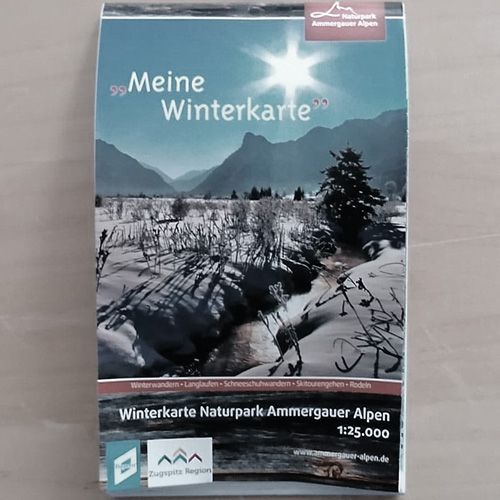
Outdoor maps for the winter
Our system helps you with the planning and creation of signposting, starting with mileage and the automatic generation of signs through to direct ordering from your service provider. tourinfra® puts an end to endless searching in documents and Excel lists. Simply select the desired location on the map and all the information is clearly displayed.
- Winter hiking
- Cross-country trails
- Ski tour maps
- Ski resort folder
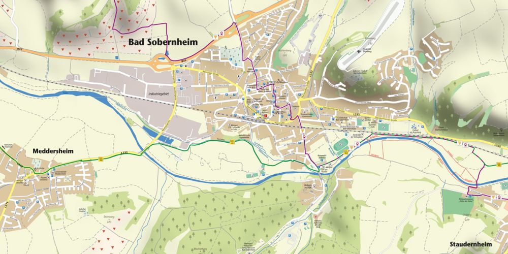
City & town maps
In tourinfra®, tours for various sports can be created quickly and easily. Many tools and automatic functions support users in creating hiking, mountain biking and trail running tours, etc. The creation of routes using GPS data, off-road routing functions and automatic synchronization with map data from Open-Street-Map make work much easier.
- Detailed maps
- Individual contents
- Street directory
- House numbers & place register


Overview maps
Our system helps you with the planning and creation of signposting, starting with mileage and the automatic generation of signs through to direct ordering from your service provider. tourinfra® puts an end to endless searching in documents and Excel lists. Simply select the desired location on the map and all the information is clearly displayed.
- Road maps
- Country overviews
- Excursion tickets
- Minimaps


Team for the implementation


