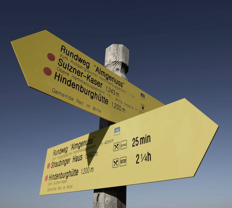
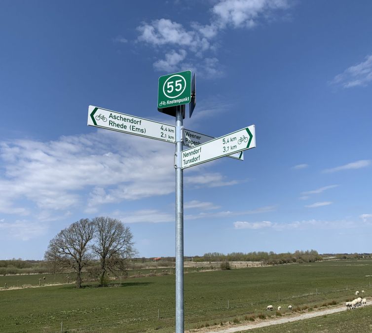
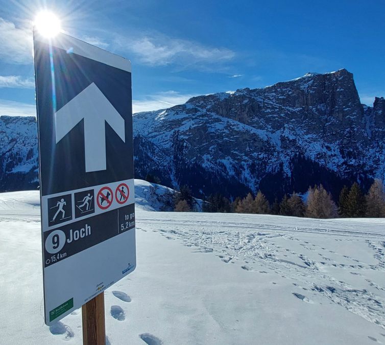
SIGNAGE & GUIDING SYSTEMS

Show your guests the way
Halfway around the world with green-solutions! In recent years, we have professionally mapped and signposted well over 20,000 kilometers of routes. We have also developed new guidance systems for a wide variety of sports and successfully implemented them on site.
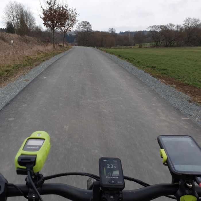
Outdoor digital: Based on route planning and in coordination with all relevant stakeholders, we use state-of-the-art technology to digitally record the terrain. Based on our digital data, we then plan your infrastructure and signage with the utmost care and precision.
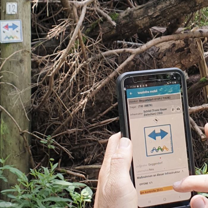
Manage signs with tourinfra®
Outdoors digital: Based on route planning and in coordination with all relevant stakeholders, we use state-of-the-art technology to digitally record the terrain. Based on our digital data, we then plan your infrastructure and signage with the utmost care and precision.
Our full-service offering is unique on the market. We automatically generate sign printing templates, determine material requirements, advise on the selection of signs and installation materials and provide support in the preparation of tenders.
- On-site recording & planning
- Digitization of your systems
- Standardized guidance systems
- Mass determination
- Online print data creation
- Creation of service specifications

Let us bring your vision to life.


Team for the implementation


