Green-solutions has taken over the route survey and signage planning for the section of the supra-regional “WasserRadweg” in the district of Roth. The data will be recorded in tourinfra® and maintained in the future. Our client, the district administration of Roth, will manage its cycling and hiking trails in tourinfra® in the future.
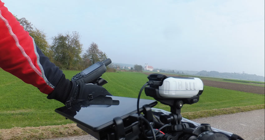
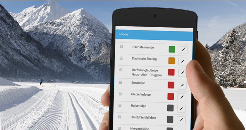
The route has already been recorded with tourinfra mobil. 120 km of cycle route have been successfully covered and are now being planned with new cycle route signposts according to the “FGSV standard” with distance calculation.
The Roth District Office has access to GPS-based documentation of the locations and infrastructure. The collaboration took place in close coordination with the client. Long-distance and themed cycle routes were integrated into the signage planning and offer cyclists a variety of tours.
With the help of tourinfra® the signs can be ordered from the system with just one click.
Photos: District Office Roth


