Starnberger Fünf-Seen-Land relies on tourinfra©
Nordic Walking Park based on tourinfra©
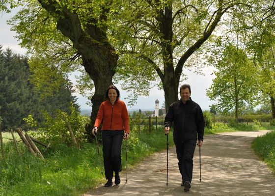
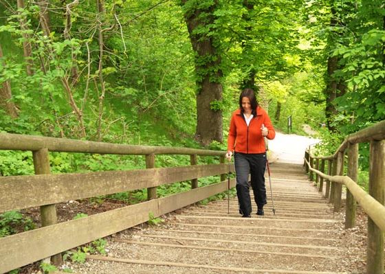
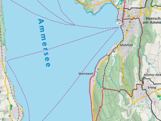
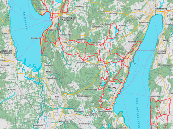
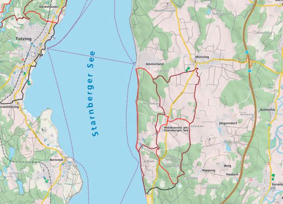
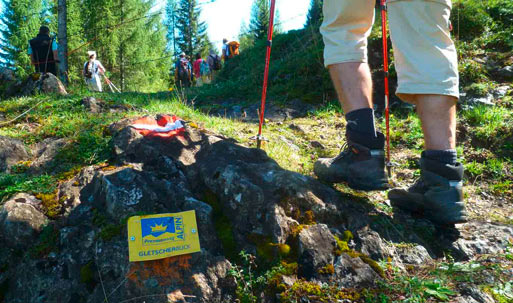
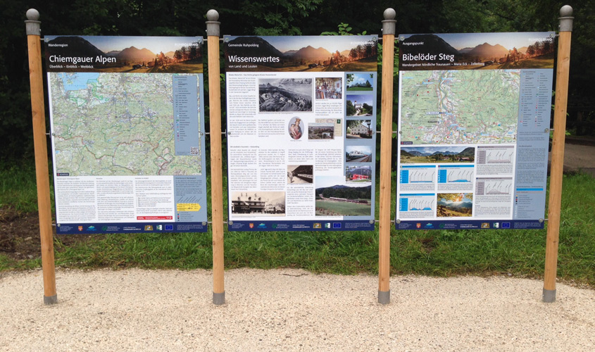
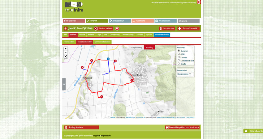
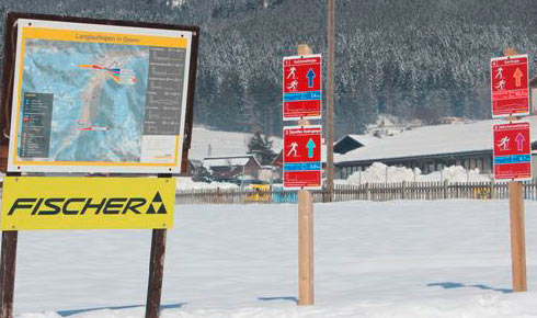
The Starnberger Fünf-Seen-Land Nordic Walking Park is one of the largest walking parks in southern Germany with a network of 280 km of trails, divided into 24 routes and three levels of difficulty. Continuous signposting is required so that active users of the park can get a good overview and pursue their sport on well-marked routes. For the project around Lake Ammer and Lake Starnberg, this meant revising the existing signage register and updating all Nordic walking routes and signage locations, including signposts, in tourinfra©. This means that all routes, locations and signposts will be available at any time in the future for editing, changing and expanding the park.
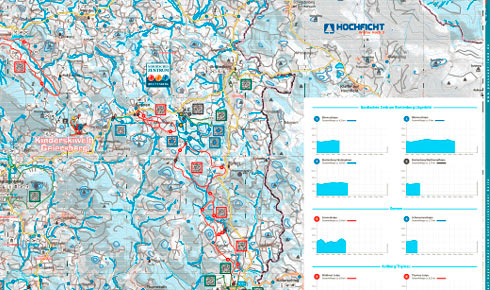
Based on this information, new overview and route maps were created on the basis of new, CI-compliant custom maps maps (OSM data). In the course of the year, new routes will be designed in the east of Lake Starnberg, which will be published in tourinfra© together with all other routes in a flyer & app. The tours are marketed online via the Outdoor-Cluster marketing network and the associated websites such as freizeitalpin.
The implementation of the project is a big step for the Starnberger Fünf-Seen-Land. In future, one contact person will be responsible for the entire Nordic Walking Park area, from conception – planning – implementation – maintenance – marketing.
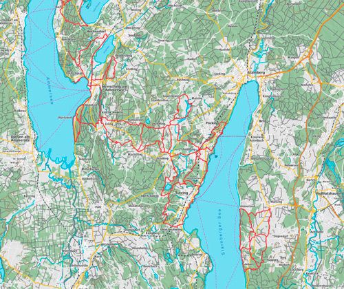
Project area:

