Tour recording 2015 has begun
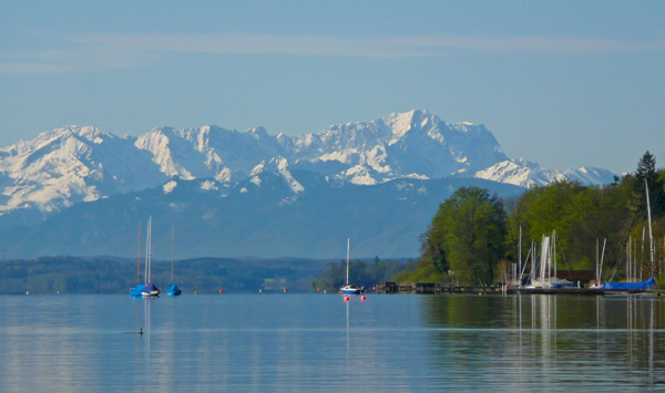
From the Blue Land to the Salzburg Lake District…
We are currently working more and more for our customers in route and guidance system planning.
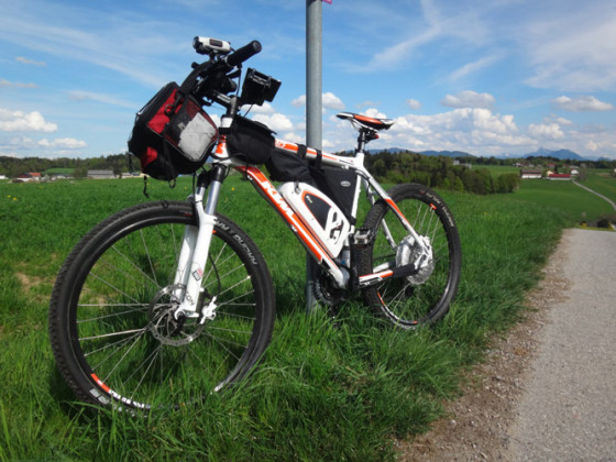
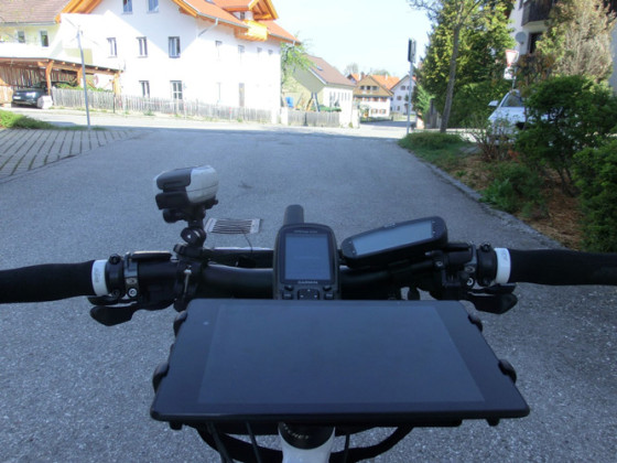
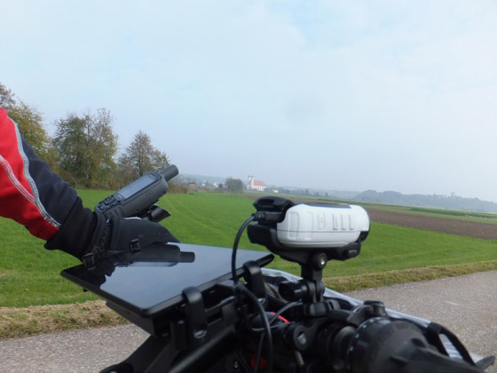
The team is currently out and about in the region recording the routes. In order to be able to correctly evaluate the tours and plan the signposting, each location is recorded on site.
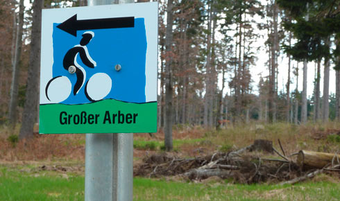
When recording the cycle paths, we recorded both the signposting and the condition of the paths in the terrain. One of our most important tools here was our tourinfra in combination with the app from our partner topplan. This enabled us to collect data quickly and systematically on site. Based on the data we collected, we are currently preparing the signage planning in accordance with the specifications of the ADFC (Allgemeiner Deutscher Fahrrad-Club e.V.) and the RVS (guidelines and regulations for the road system) in Austria.
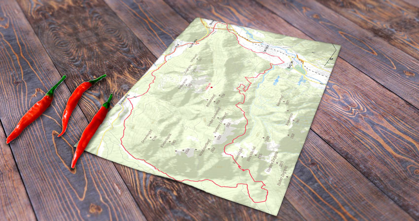
Once the route has been planned and recorded, we will produce and deliver the signage and the advertising material based on it in the coming weeks. Our tourinfra is the data hub for all projects. In addition to the signage register and print templates for the sign manufacturers, it also supplies the geodata for the workflow based on it to create our license-free custom maps.

